


Hivemapper Bee fleet rollout: how to run a one-vehicle trial
Pilot a Hivemapper Bee in one fleet vehicle. Check the mount, account ownership, uploads and driver handovers before fitting the rest of your fleet.
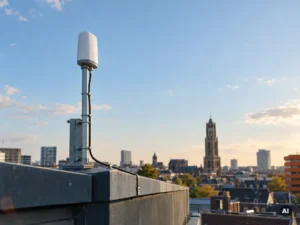
What should I consider before installing a Wingbits miner on a commercial building?
Roof view, owner approval, power and a safe mount decide your Wingbits miner’s success. Check all four first.

Fitting a Hivemapper Bee in a leased or company car
Fitting a Hivemapper Bee in a leased or company car? First agree on the mount, the account and imagery uploads with the lessor or vehicle manager.

Wingbits WB200 kit or separate components?
Compare a Wingbits WB200 kit with separate components. Check approved hardware, site eligibility, mounting needs and reuse of existing parts before ordering.

What can a GEODNET base station earn?
An eligible GEODNET base station can receive GEOD tokens for contributing usable satellite observations. There is no reliable euro figure to quote for a new installation.

GEODNET base station or RTK subscription?
Choose the GEODNET base station to contribute satellite observations from a fixed location.
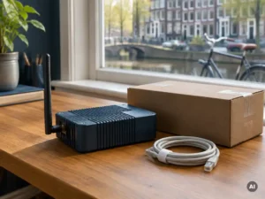
Buying DePIN hardware from an EU reseller
For an EU delivery, ask where the device will actually ship from and what the invoice includes.

Getting an Anyone Router ready for relay rewards
Powering up an Anyone Router starts the device. Earning eligibility requires a configured relay that the network can reach.
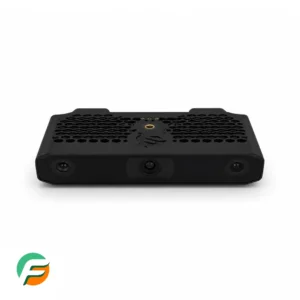
Installing a Hivemapper Bee yourself
You can install the Hivemapper Bee using its supplied mount and power accessories. Assemble it and check the view while parked.
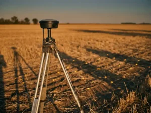
What DePIN actually supplies in an RTKsub field survey
A fixed GEODNET station and a survey rover do different jobs. The station observes satellites from one place.

Does a denser GEODNET network improve RTK?
More stations can mean a shorter distance to a usable reference station. That can help a rover resolve a fixed solution.
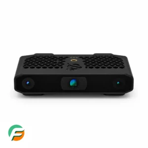
What comes with a Hivemapper Bee?
FreshMiners lists the Hivemapper Bee WiFi + LTE. Check the exact listing and the manufacturer’s packing illustration for your unit.
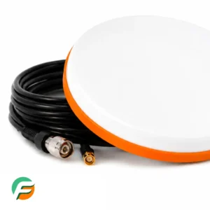
Connecting a GEODNET base station to the network
A MobileCM owner connects the receiver to GEODNET. There is no separate RTKsub registration for hosts.
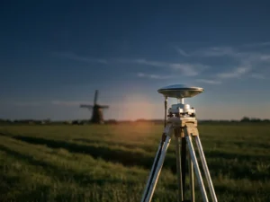
Using RTKsub for survey work in the Netherlands
For Dutch fieldwork, check three things before choosing RTKsub: coverage on the job, support for a custom NTRIP connection and the reference system required by the client.

Checking RTKsub coverage at a European worksite
The most useful coverage figure for a job is the distance to a working reference station near that job. RTKsub uses the GEODNET network.
Internet requirements for an Anyone hardware relay
For Relay Mode the connection needs to work in both directions. Your device must reach the internet, and the relay must pass Anyone’s inbound reachability test.
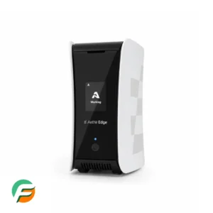
Is Aethir Edge suitable for your home connection?
An Aethir Edge can suit a home with stable power, enough broadband capacity and an operator willing to manage the account requirements.

Aethir Edge setup and connection requirements
Aethir Edge is a dedicated device for contributing computing capacity to the Aethir network.

YOM NANO requirements and first boot
YOM NANO is a bootable USB SSD. The gaming PC supplies the processor, graphics card, memory and internet connection.
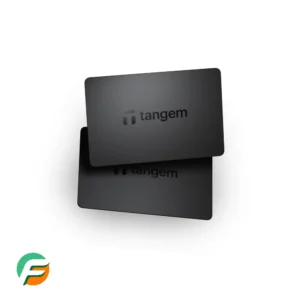
Setting up a two-card Tangem Wallet
The two-card Tangem Wallet set gives you two physical devices for the same wallet. For seedless setup, you need both cards, a compatible NFC phone and the official Tangem app.

NATIX VX360 compatibility and upload options
NATIX VX360 works with supported Tesla vehicles and uses the car’s existing cameras. Check the exact vehicle, year and Dashcam USB connection before ordering.
Can your GEODNET station serve RTKsub users?
An eligible station may supply the observations used by a nearby RTKsub subscriber. RTKsub draws on GEODNET.
Choosing a GEODNET miner for home
FreshMiners lists the MobileCM Triple-Band for a fixed home installation. The decisive question is whether the location works.
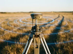
Testing RTKsub on a professional survey job
A professional test of RTKsub starts with a point whose coordinates you already trust. A neat cluster of new measurements proves repeatability.
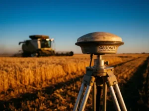
Who uses RTKsub corrections from GEODNET?
Who uses RTKsub corrections from GEODNET. How the equipment differs and what counts as success.
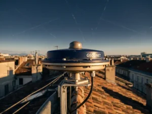
What your GEODNET station contributes to RTKsub
The useful output from a host is a stream of timestamped satellite observations from a fixed site.
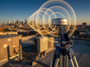
How RTKsub uses GEODNET base stations
RTKsub gives compatible receivers access to GNSS corrections over the internet. The reference stations are part of GEODNET.
Why is my GEODNET station tracking so few satellites?
If a GEODNET station shows only a few satellites, first check that you are looking at a current reading and whether the display counts all constellations or only one.
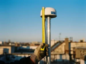
Measuring antenna height at a GEODNET installation
First identify what the measurement is for. Clearance above a roof, height above a survey mark and ellipsoidal height are different quantities.
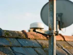
Can a dish bracket hold a GEODNET antenna?
An existing bracket can be useful if it is rigid, accepts the correct mount and puts the GNSS antenna in open sky.

Recognising multipath at a GEODNET base station
Multipath occurs when a satellite signal reaches the antenna by more than one path. A reflection from glass, metal or a nearby wall can distort the measurement.
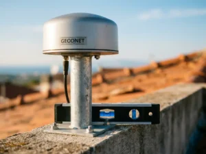
Checking that a GEODNET antenna is upright
GEODNET recommends an upright antenna on a stable mount. Check the straight mast or mounting surface identified by the manufacturer.
How long can the GEODNET antenna cable be?
GEODNET support describes a 9 m supplied coaxial cable and an 18 m option using a second standard cable and an extender. It does not guarantee results beyond that arrangement.
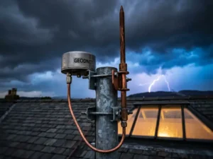
Lightning protection for a GEODNET installation
Outdoor GNSS equipment needs a site-specific lightning and surge assessment. GEODNET mentions a coaxial protector near the MobileCM input.

How much open sky does a GEODNET antenna need?
GEODNET recommends an unobstructed view down to 10 degrees above the horizon around the antenna. A clear view straight overhead is only part of the requirement.

What building work can do to a GEODNET station
Scaffolding, a new facade or a crane can change what the antenna sees even if the receiver has stayed online. Some structures block the direct view of satellites.
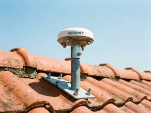
Mounting a GEODNET antenna on a sloping roof
A pitched roof does not prescribe a particular mount. The right position gives the GNSS antenna open sky on a rigid support, with a sound route for the coax to the receiver.
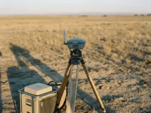
RTK subscription or rented base: comparing the job cost
Compare the total cost of finishing the same job. An RTKsub subscription supplies corrections to compatible equipment.

Getting GEODNET reference data for drone PPK
For post-processed kinematic positioning, you need reference observations covering the flight and compatible observations from the aircraft.
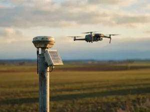
Does GEODNET RTK authorise a BVLOS drone flight?
No. A GEODNET correction stream can improve positioning on a compatible drone.

Using RTKsub for solar and wind inspections
RTKsub can help a compatible inspection drone record repeatable positions. At a solar park that can help a crew find the same panel row again.
Network RTK or a local drone base station?
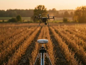
With RTKsub, a compatible drone receives correction data from a GEODNET reference station through an internet connection.
How far can a drone be from a GEODNET station?
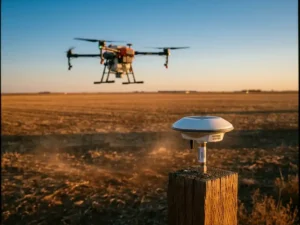
The distance that matters to RTK is the baseline between the active reference station and the aircraft. It is separate from the distance to the pilot or controller.
Using RTKsub for drone photogrammetry
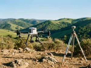
RTKsub can improve the camera positions recorded by a compatible survey drone. Those positions help place a photogrammetric model in its coordinate system.

Connecting a survey drone to RTKsub before take-off
Connect a compatible survey drone to RTKsub before take-off. Check the NTRIP settings, GGA position messages, correction age and RTK fix status.
Which drone models can use RTKsub corrections?
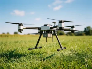
Check the exact aircraft, RTK module and flight app. A brand name does not establish compatibility.
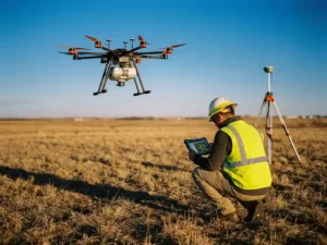
Checking the accuracy of an RTK drone survey
A drone using RTKsub can record precise image positions in favourable conditions.
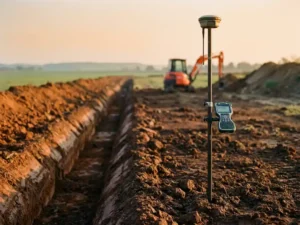
Using RTK for drainage and land levelling
A compatible control system can use RTKsub corrections when installing drainage or grading a field. These jobs depend heavily on vertical accuracy.
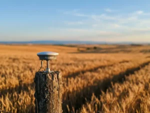
Can you use or host GEODNET on a remote field?
A remote field raises two separate questions. To use RTKsub there, the rover needs a suitable reference station and working internet.

Comparing the annual cost of RTKsub and your current RTK
Start with your actual renewal quote and the current RTKsub offer for the equipment you operate. Using GEODNET through RTKsub involves a correction subscription.
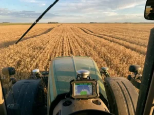
Will your farm guidance system work with RTKsub?
A roof antenna on a tractor is not enough to establish RTK compatibility.
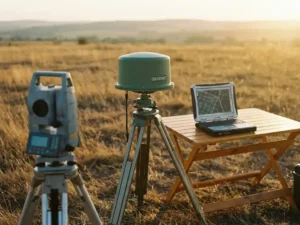
Exporting survey points measured with RTKsub
The NTRIP client receives corrections while you measure. The file you usually export for CAD or GIS contains the resulting survey points.
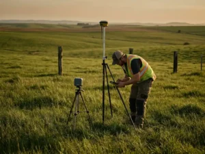
GEODNET RTK for topography and boundary work
A rover using RTKsub can measure visible features such as kerbs, fences and drainage covers. Deciding where an official property boundary lies is a different task.
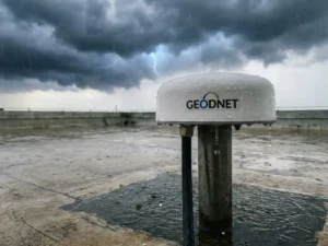
Rain, cloud and GEODNET station performance
If station performance drops during rain, check what actually changed.
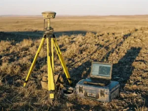
Which survey software can use RTKsub?
The software that controls the rover or feeds it corrections needs to support the hardware and the NTRIP workflow.
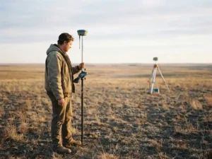
What limits a survey rover’s RTK baseline?
A surveyor’s baseline is the distance from the rover to the reference station used for corrections. No single maximum distance guarantees survey-grade work.
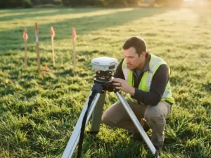
Is GEODNET approved for your survey specification?
Ask what exactly the client requires: an approved correction provider, a receiver certificate, a coordinate reference or a tested field method.
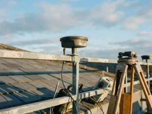
GEODNET, CORS and real-time corrections explained
CORS stands for continuously operating reference station. It describes a type of station.
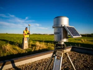
What accuracy can you claim for cadastral GNSS work?
Claim the accuracy supported by the survey evidence and the applicable cadastral procedure.
Can a Hivemapper Bee replace an insurance dashcam?
The Bee’s mapping workflow captures street imagery for the Hivemapper network. If your insurer requires incident recording, ask what evidence it accepts.

How Hivemapper values fresh road imagery
A recent, usable image can help refresh a road that has changed. Hivemapper evaluates contributions in small geographic cells.
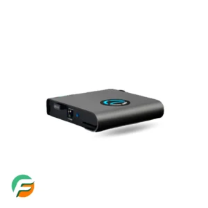
How an Anyone hardware relay handles traffic
An Anyone hardware relay contributes bandwidth to an onion-routing network.
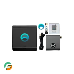
Does Anyone need a minimum number of users?
There is no useful buyer’s threshold of users that guarantees an Anyone connection will be fast or private.
What a Wingbits flight-tracking station contributes
A Wingbits station receives aircraft broadcasts and forwards eligible positional messages to the network. ADS-B is a broadcast from suitably equipped aircraft.
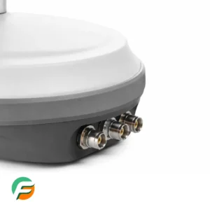
How long should a Wingbits antenna last?
There is no single service life for every Wingbits antenna installation.

Where GNSS corrections fit in a field robot
A compatible field robot can use GNSS corrections from RTKsub to estimate its position more precisely in open sky. That can help it return to a planned row or repeat a route.
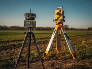
Do GEODNET corrections replace survey equipment?
A correction service supplies data. Your rover, antenna and controller make the observations and record the survey.
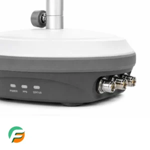
What is the WINGS token in Wingbits?
WINGS is the token used by Wingbits to reward eligible contributions of aircraft position data. A WB200 receiver listens for broadcasts from aircraft.
Choosing a position for a Wingbits ADS-B antenna
A clear view towards the horizon usually matters more than proximity to an airport on a map. ADS-B reception largely follows line of sight.
What is GEODNET and what does it add to GPS?
GEODNET is a network of fixed satellite-navigation reference stations. GPS is one of the satellite constellations a GNSS receiver can observe.
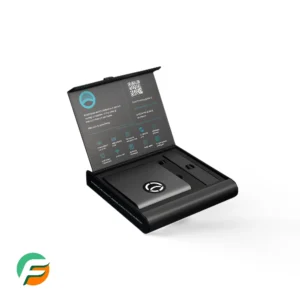
What the ANYONE token rewards
ANYONE is the token used in the Anyone ecosystem. For a hardware operator, the relevant question is whether a registered relay qualifies under the current rules.
Can you host a Wingbits station in Europe?
Wingbits lists approved hardware and a location-claim process for hosts. For a European address, check the exact position in the project dashboard.
How a fixed GEODNET base station works
A GEODNET host keeps a reference antenna at a stable location where it observes navigation satellites over time.
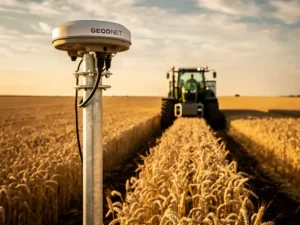
Using GEODNET corrections for repeat tractor passes
A tractor with compatible guidance can use RTKsub corrections from GEODNET to return to a stored line. That can help with repeat passes for sowing, hoeing or spraying.
Checking GEODNET coverage in Europe before hosting
Check the GEODNET map, nearby hosts and hex rules for a European installation. For field work, assess coverage at the actual rover location.
What is the GEOD token and how do hosts receive it?
GEOD is the token used by GEODNET to recognise eligible station contributions. A fixed station supplies satellite observations.
What is Hivemapper and how does the Bee work?
Hivemapper uses contributed street imagery to build and refresh map data. A Hivemapper Bee captures the scene along the road.
How to set the camera angle on a Hivemapper Bee
A secure mount is only half the installation. The Bee needs a clear, level view of the road.

Choosing useful roads for Hivemapper mapping
Start with journeys you already make. Fresh, usable imagery of a changed or under-covered road can help the map.

How Hivemapper checks contributed map data
A Hivemapper contribution is evaluated at the level of geographic cells called hexes. The project describes useful contributions as imagery or map features tied to a place.
What traffic does an Anyone Router protect?
The Anyone Router can route supported traffic through the Anyone network when configured for that purpose.
How Bee imagery becomes a Hivemapper contribution
The Bee captures street-level imagery, but the contribution is complete only when the data reaches the network for processing.
What data does a GEODNET station send?
See what a GEODNET host sends, why an RTKsub rover reports its approximate position and which security details to verify for your own connection.
When to update GEODNET station firmware
GEODNET support describes network-driven firmware upgrades. It does not give MobileCM hosts a universal two-to-four-week manual update schedule.
Troubleshooting GEODNET signal loss
Diagnose a GEODNET outage by separating lost internet, poor satellite observations and a rover that stops receiving corrections.
Configuring a GEODNET MobileCM base station
Use the HYFIX guide for the exact receiver on your desk. Base station configuration covers the antenna connection, power, internet and registration in the GEODNET Console.
What to check in a GEODNET base station kit
Compare a GEODNET base station kit against the intended site. Check the antenna, coax length, network connection, mounting hardware and eligibility.
Which software does a GEODNET host need?
A GEODNET MobileCM is dedicated reference-station hardware. You do not turn a laptop or a generic miner into a GEODNET station by installing mining software.
What is a GEODNET base station made of?
Identify the GNSS antenna, coaxial cable and receiver in a GEODNET MobileCM base station, and see how they supply observations to the network.
Installing a GEODNET MobileCM base station
Plan and commission a GEODNET MobileCM installation, from checking the antenna site and coax route to verifying observations in the GEODNET Console.

What GEODNET supplies to construction and field operations
Explore how GEODNET reference data supports construction surveys and repeat tractor passes, and what field equipment a contractor still needs.

GEODNET and GPS: what changes on the receiver?
GPS provides satellite signals. A GEODNET-based correction service supplies extra reference data to an RTK-capable receiver.

How accurate is GEODNET positioning in the field?
A rover using GEODNET corrections can reach centimetre-level positioning in suitable conditions.
GEODNET equipment checklist for a new host
A host needs a supported reference receiver, its GNSS antenna and coax, a stable mounting point, power and internet.

How RTKsub delivers GEODNET corrections to a rover
A rover needs two inputs at the same time: its own satellite observations and reference information supplied over the correction connection.
Why a fixed GEODNET reference improves a GNSS position
A single rover cannot distinguish every error in its measurements from a change in its own position.